
Conceptual Zoning Districts
The Monroe County Urbanizing Area Plan proposed the creation of 4 general character districts, each composed of a series of subdistricts, for the Urbanizing Area.
The districts are intended to consolidate and simplify the pre-existing set of zoning districts. They may be geared toward unique land use and development form considerations for different areas. Categories may be further differentiated or combined as the County Development Ordinance is developed.
Employment Districts (E) are intended to advance the objectives for continued economic development opportunities.
Community Districts (C) are intended to provide a positive first impression with a unique mixture of uses, engaging design, and vibrant connections to urban areas.
Neighborhood Districts (N) are intended to accommodate a wide variety of primarily residential uses, housing types, densities and neighborhood development contexts.
Special Districts (QL) accommodate unique uses and development conditions, such as the Quarry Landscape district.
Draft Zoning Map
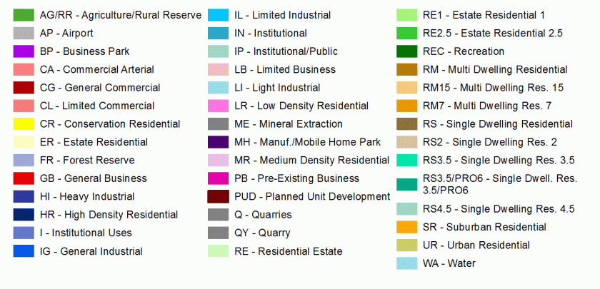
Current Zoning Map
There are currently 41 distinct zoning districts in Monroe County with different development standards in each.
Elevate Map
The County-wide Geographic Information Map is called Elevate Map. It can be accessed by clicking on the image below:

